This enlists the type of data required by the user to enter per evaluation category into the tool.
Corridor/ Route
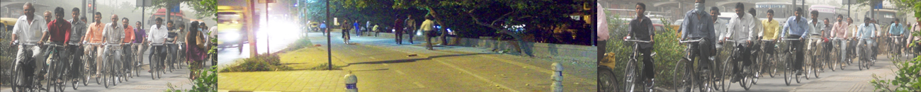
This tool uses a cycling route between a defined origin and destination point as an evaluation unit. This tool requires defining segments which comprise the entire cycling route.
Checklist for Data Required
| DATA |
SOURCE |
| Segment Identification |
| Details of the road & ROW / function |
General Alignment Drawing / Plan available with official/consultant |
| Route plan / dwg (and image) |
Zonal Plan / Ward Plan |
| Landuse details |
|
| Traffic Volume |
Traffic Volume Survey |
| Observed Speed |
Speed Gun Survey |
| Segment Details |
| Record from Site (Evaluating an planned route) |
General Alignment Drawing / Plan available with official/consultant
Cross –Sections
Details including services, material and finishes planned. |
| Record from Site (Evaluating an Existing route) |
Data Collection Form
|
This tool evaluates the accessibility an area of 1200 radius around a particular transit station. This tool requires defining links which comprise the entire transit access influence area.
Checklist for Data Required
| DATA |
SOURCE |
| Segment Identification |
| Details of the road & ROW / function |
General Alignment Drawing / Plan available with official/consultant |
| Route plan / dwg (and image) |
Zonal Plan / Ward Plan |
| Landuse details |
|
| Traffic Volume |
Traffic Volume Survey |
| Observed Speed |
Speed Gun Survey |
| Segment Details |
| Record from Site (Evaluating an planned route) |
General Alignment Drawing / Plan available with official/consultant
Cross –Sections
Details including services, material and finishes planned. |
| Record from Site (Evaluating an Existing route) |
Data Collection Form
|
Here the tool uses the entire city as an evaluation unit. Data to be entered ranges from safety, accessibility and mobility indicators to environment and health indicators that can assess the current and the potential state of a city with respect to its cycle friendliness.
Checklist for Data Required
| DATA |
Modal Share & Accessibility *
Trip length *
Posted Speed Limit
Cost of commuting
Households owning cycles disaggregated by income
Land consumed for different transport activities
Road Network
|
| Land Use Data |
Land Allocated to NMT Parking
Lighting
|
| Safety and Risk Exposure |
| Perception of safety |
| Ambient Air quality (local poluutants like PM2.5, PM10, SOx, NOx) |
| Noise Level |
| Investment |
| The data should be collected from primary surveys or from Household surveys (HH), City Traffic and Transport Study (CTTS) , Comprehensive Mobility Plan (CMP), National Sample Survey Organization (NSSO), Census data available at ward or electoral block level, Road inventory survey, Detailed accident data can be collected from traffic police, Stated preference surveys, Air quality map in city (CPCB data if available), Map exceedance of noise levels, City budgets from previous year and current year, if available. |
* * the data should be collected separately for vulnerable groups such as: i) Slum dwellers ii) Within the slums, of households living in katcha housing as that is indicating BPL households iii) Recent migrants to the city and temporary migrants to the city iv) Households living in relocated sites v) SC households vi) Minority groups vii) street vendors etc. The data should also be disaggregated by sex.